KawniXData

Find, Access, and Analyze
Geospatial Data in One Place

KawniXData is a data acquisition tool that helps you gather, manage, and analyze geospatial data on a single platform. You can access the top 10 data providers and more than 50 different product types, including Sentinel 1 and 2, Landsat, and more. It enables you to download landscape images from satellites, analyze, compare, and obtain results quickly.

The Ideology Behind KawniXData

We designed this tool by collecting geospatial data from different data providers so you can gain access to it all in one place. We eliminated all chances of errors and inconsistencies by using data analyst softwares like QGIS and ArcGIS.

How We Work

KawniXData is built around three main functions

KawniXData is built around three main functions

01

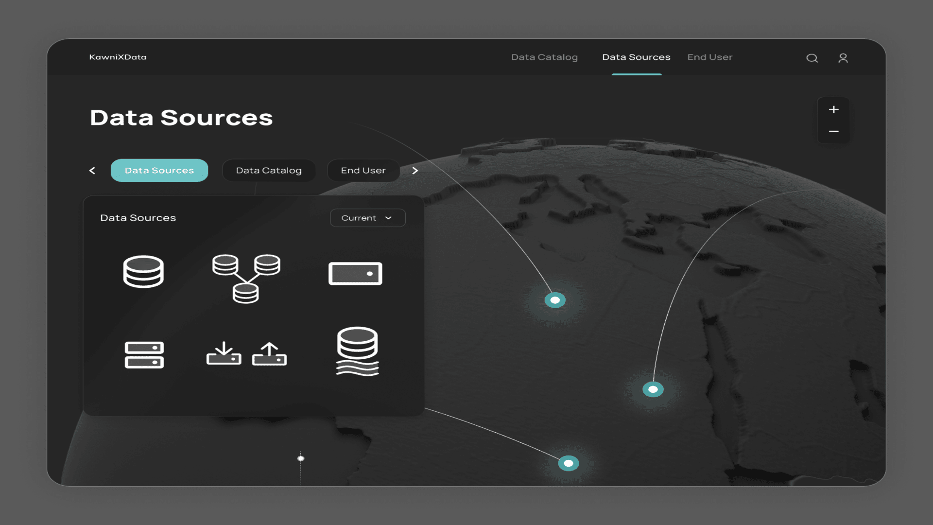
Listing Product Types

Browse a list of available data products and their details.

02

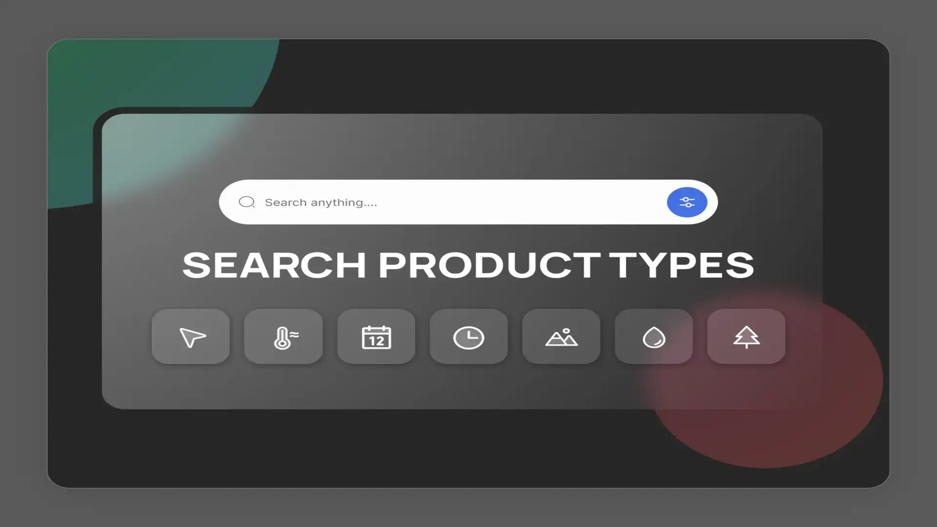
Search Product Types

Find specific data by setting your search criteria.
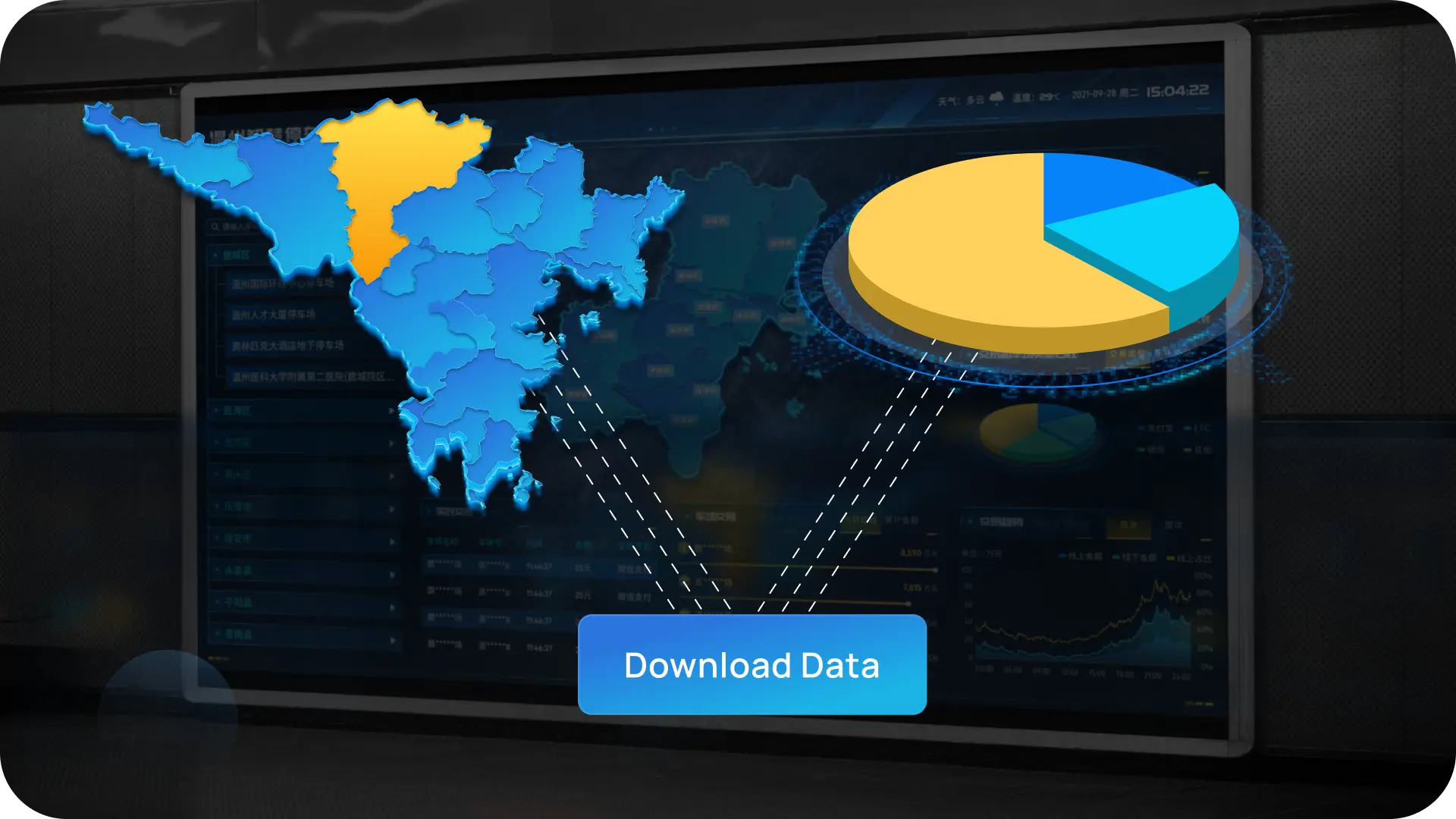
03

Download Data

Easily download the data you need for your projects.

Make your data acquisition process easier by getting all resources in one place.