Kawnix fuels your AI with curated talent for labeling, QA, and beyond
Over 1200+ expect freelancers are waiting for you


Up your work game, it's easy
Top rated freelancers
Browse talent for your projects

Get Paid Globally — Instantly with Crypto
POWERED BY KAWNIX
Hire Top Talents for Precise Annotations and Real World AI
From wildlife conservation to autonomous systems, our trained freelancers deliver pixel-perfect annotations — like bounding boxes for elephant detection — to help your models see the world with clarity and confidence.

Start As A Freelancer
Lorem ipsum dolor sit amet, consectetur adipiscing elit. Praesent quis tincidunt metus.
Start As A Employer
Lorem ipsum dolor sit amet, consectetur adipiscing elit. Praesent quis tincidunt metus.
Deep Dive into Annotation, QA, and Freelance Infrastructure
Discover how Kawnix empowers AI teams with scalable, high-quality annotation workflows — from satellite imagery and LiDAR to medical imaging and NLP.
Whether you're a startup building your first model or an enterprise scaling computer vision ops, this guide reveals the tools, talent, and processes that fuel the future of AI.
Find service by category
Browse 100+ smart service categories tailored for AI, data, and innovation.
Trusted by AI Teams and Vision Experts Worldwide
From startups to global projects, Kawnix delivers quality, speed, and confidence in every collaboration.

Nav Paul
CEO at VisionForge AI
Susie G. Lucas
Head of Management at Labelbricks
Rahim A
ML Project Lead at AgriData SystemsLatest projects
Explore the best projects that benefit you
Annotate Large-Scale Datasets for Computer Vision Projects
- Resume Writing
- 1 year ago
- 1 sent proposal
Fixed Price
Pre-Screen AI Talent for Data Annotation Projects
- 3D Product Animation
- 1 year ago
- 2 sent proposal
Hourly Rate
Deploy Scalable Annotation Pipelines with Quality Control
- Articles & Blog Posts
- 1 year ago
- 0 sent proposal
Fixed Price


POWERED BY KAWNIX
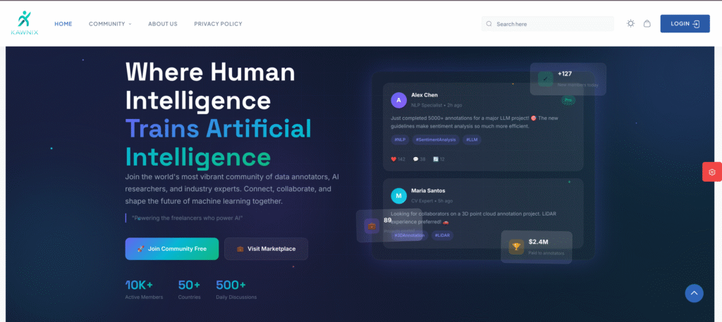
Where Human Intelligence Trains Artificial Intelligence
Join the world's most vibrant community of data annotators, AI researchers, and industry experts. Connect, collaborate, and shape the future of machine learning together.


